 vesseltracker.com
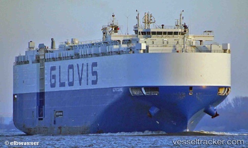
Vessel '441168000' IMO: 9651101, MMSI: 441168000
UTC, 30.26973, 127.34721, course: 285, speed: 14
UTC, 30.26973, 127.34721, course: 285, speed: 14
2026-01-23 18:23:59 UTC, 30.26973, 127.34721, course: 285, speed: 14
Live AIS position:
UTC. 164 nm NW of Koniya),
updated 2026-01-23 18:23:59 UTC.
Find the position of the vessel '441168000' on the map. The latter are known coordinates and path.
marine traffic ship tracker show on live map
The current position of vessel '441168000' is 30.26973 lat / 127.34721 lng. Updated: 2026-01-23 18:23:59 UTCDetails:
Last coordinates of the vessel:
UTC, 30.26973, 127.34721, course: 285, speed: 14UTC, 30.26973, 127.34721, course: 285, speed: 14
UTC, 30.26973, 127.34721, course: 285, speed: 14
2026-01-23 18:23:59 UTC, 30.26973, 127.34721, course: 285, speed: 14